What if your weekend could start with a quiet creekside walk, include a farmers market stop on your way home from the DART station, and end with glow‑in‑the‑dark playground time after dinner? In Farmers Branch, that kind of everyday outdoor living is more than a dream. You have access to a citywide network of parks, trails, aquatics, and special events that make time outside easy to enjoy. In this guide, you’ll see the parks and trail highlights, how the city is planning future connections, and smart buyer tips to help you choose the right spot for your lifestyle. Let’s dive in.
Why Farmers Branch feels like a “City in a Park”
Farmers Branch calls itself a City in a Park, and once you explore the system map it is easy to see why. The city maintains a broad mix of playgrounds, greenways, sports fields, and specialty spaces, all organized on a central Parks & Trails hub. Everyday outdoor living here is intentional, not accidental.
That intent shows up in the adopted Citywide Trails Master Plan. The plan lays out West, Central, and East zones, trailhead locations, and priority connections to nearby cities like Addison and Carrollton. You can review the details in the Citywide Trails Master Plan. The bottom line for you: the network you see today is growing, and the city is working to link parks, neighborhoods, and transit in practical ways.
Signature parks you will use all the time
JOYA at Oran Good Park
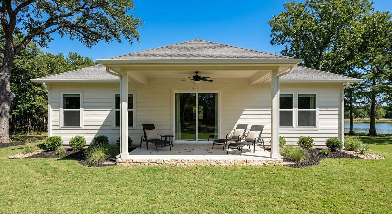
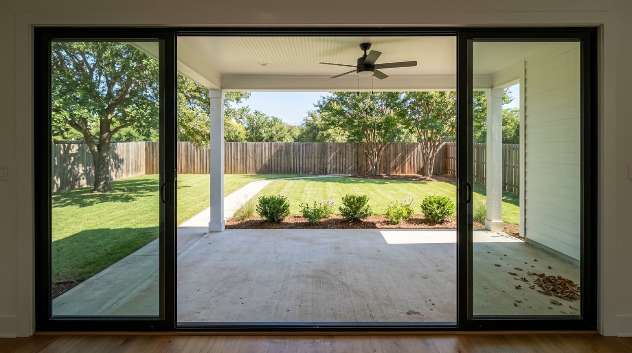
Oran Good Park is a major recreation complex, and now it is home to JOYA, one of the most distinctive playgrounds in North Texas. This inclusive, 18,000‑plus square foot, glow‑in‑the‑dark playground features a 27‑foot climbing sphere, zip line, obstacle course, and a fenced toddler area. It was designed for day and evening play, with a grand opening celebrated in January 2024, as covered by DART Daily’s feature on JOYA’s opening. If you want a family‑friendly spot that works after dinner, this is it.
Beyond play, Oran Good Park functions as a central trailhead in the Master Plan’s network. That means you can pair a playground visit with a walk or bike ride and keep your outing flexible. For many families, that convenience turns a quick playground stop into a full evening outside.
Rawhide Park and Rawhide Creek
Rawhide Park is the everyday route you will return to again and again. The paved loop runs about 2.2 to 2.3 miles along Rawhide Creek with playgrounds, benches, and multiple access points. Dallas County describes it as a family‑friendly, easy trail, and locals use it for walking, jogging, and casual cycling. If you want the official overview and map, see the Dallas County Rawhide Trail page.
Because the trail weaves through the Central zone, it naturally connects you to other parks and the library. If your goal is to make short daily walks part of your routine, Rawhide makes it simple.
John F. Burke Nature Preserve
When you want a true nature break, head west to the John F. Burke Nature Preserve. This city preserve protects Elm Fork riparian habitat with wetlands and upland forest, and it is treated as Farmers Branch’s primary natural area. You will find peaceful trails, wildlife viewing, and proximity to paddling segments on the Trinity corridor. Start planning your visit with the John F. Burke Nature Preserve page.
If you love birding, quiet walks, and nature photography, the preserve adds a different texture to everyday outdoor time. It is also a compelling amenity if you want easy access to green space without leaving the city.
Farmers Branch Historical Park and the Rose Garden
The Historical Park blends open lawns, formal garden space, and restored structures into one of the city’s most photogenic greens. It serves as a backdrop for festivals and community gatherings throughout the year. For history strolls, picnics, or seasonal events, it is a go‑to spot. Learn more about the setting on the Historical Park page.
On weekends, you might see families taking portraits in the rose garden or neighbors setting up lawn chairs for an outdoor concert. It feels like a civic living room with room to spread out.
Everyday amenities for every lifestyle
Aquatics for every season
If water time is on your family’s list, Farmers Branch makes it easy. The seasonal Frog Pond waterpark is a summer favorite, while the Margaret Young Natatorium offers year‑round lap swimming, lessons, and programs. City details and schedules are posted on the Aquatics page. For many residents, swim options are a big part of why weekends at home feel like a mini staycation.
Dog‑friendly parks and play
Dog owners have a dedicated place to let pups run at the Barney Wood Bark Park. You will find separate areas for large and small dogs, lighting, seating, and water features. For current rules and hours, check the Barney Wood Bark Park page. Add a loop on the Rawhide trail and you have an easy daily routine for you and your dog.
Inclusive play and active options
Families will appreciate inclusive playground features across the system, including at Gussie Field Watterworth Park. Older kids and teens can spend time at the skate park inside the recreation complex, and casual cyclists will find plenty of paved mileage on neighborhood loops. For many households, the mix of playgrounds, sidewalks, and short trails turns quick errands into quick outdoor time.
Community garden and simple green routines
Community gardens and seasonal programs pop up across the city, often with support from regional gardening groups. If you enjoy growing herbs or meeting neighbors while you work a plot, that is another easy way to make outdoors part of everyday life. Pair it with a stroll on nearby loops and you have a relaxed weekend rhythm without leaving your neighborhood.
Trails and regional connections
The Trails Master Plan does more than map paths inside city limits. It shows how Farmers Branch will connect to neighboring cities and regional routes. Oran Good Park and Manske Library serve as identified trailheads in the Central zone, and future linkages are scoped along key corridors. For a deep look at where connections are headed, review the Citywide Trails Master Plan.
Water‑based recreation is part of the picture too. The Trinity River Paddle Trail designation brings regional paddling attention to the Elm Fork, and the city highlights safety and route context on its Trails page. If you have a kayak or canoe, you can plan outings that start close to home and connect with a wider North Texas trail story.
Transit adds another layer. The area around the DART Farmers Branch station is planned to support short walking trips, with new retail and park improvements shaping a convenient daily loop for nearby residents. The city’s Station Area Master Plan explains how transit, parks, and retail work together to make errands and meetups simpler on foot.
Living near parks: neighborhood patterns
It helps to think of Farmers Branch in three simple zones. The West zone includes large parcels and natural preserve access near the Elm Fork and the John F. Burke Nature Preserve. The Central zone is the city’s park‑dense residential core, home to Rawhide Park, Oran Good Park, and the Historical Park. The East zone includes office and mixed‑use corridors with utility and redevelopment opportunities that the Trails Master Plan flags for future connections, including additional trail segments and signage.
Housing reflects that structure. You will find mature single‑family neighborhoods in the Central area and a growing mix of multifamily and mixed‑use near the DART station. If you are drawn to a walk‑to‑park lifestyle, the Central zone is a natural focus. If you want nature access and bigger sky, the western side near the preserve may be a better match.
Buyer checklist: make the most of outdoor living
Use this quick list to evaluate a home’s day‑to‑day outdoor advantages:
- Walk the route: From the property, time a walk to Rawhide Park, Oran Good Park, and the DART station. Short, comfortable walks are the backbone of everyday outdoor habits.
- Check floodplain and drainage: Homes near Elm Fork and Rawhide Creek offer great access to greenways. Review elevation and floodplain information as part of due diligence. The Trails Master Plan maps drainage corridors and constraints that are useful context.
- Plan for summer shade: Open lawns can be sunny in peak summer. Look for shaded trail segments, creekside paths, splash features, and evening options like JOYA’s illuminated play.
- Map errands and transit: If you aim to walk to groceries or dinner near the station area, confirm distances and crossings. The Station Area Master Plan gives a solid overview of how the area supports short trips.
A sample day without a car
Start with a morning jog on the Rawhide loop, then grab coffee on your way home. After work, take the DART into Dallas for a quick meetup, then walk back through the station area to pick up a few groceries. Finish the evening at JOYA so the kids can climb while the playground lights make it feel special. On the weekend, trade city noise for the hush of the John F. Burke Nature Preserve and watch the sun through the trees along the Elm Fork.
Every part of that day is anchored by the parks and trails that make Farmers Branch feel connected and calm at the same time.
Ready to explore homes near parks and trails?
If you want a home base that makes outdoor time simple, Farmers Branch deserves a close look. We can help you compare neighborhoods by trail access, check practical details like drainage and walk times, and align your search with your day‑to‑day routine. When you are ready to tour, reach out to Baker Realty Group to start your plan.
FAQs
What makes Farmers Branch a “City in a Park” for residents?
- A citywide network of parks, playgrounds, and trails is actively planned and maintained, which you can see on the Parks & Trails hub and in the Citywide Trails Master Plan.
How long is the Rawhide Park trail and who is it best for?
- The Rawhide loop is about 2.2 to 2.3 miles of paved, family‑friendly trail, according to the Dallas County Rawhide Trail page, and it is popular for walking, jogging, and casual cycling.
Where can I find quiet nature trails in Farmers Branch?
- Visit the John F. Burke Nature Preserve along the Elm Fork for wetlands, upland forest, and peaceful trails ideal for wildlife viewing.
Is there access to paddling near Farmers Branch?
- The city highlights the Trinity River Paddle Trail designation and related guidance on its Trails page, which connects you to regional paddling resources.
How walkable is the area around the DART Farmers Branch station?
- The Station Area Master Plan shows a walk‑supportive mix of retail, residences, and trail connections designed to make short daily trips on foot more practical.